
Municipal Planner
“Which sites can take new housing, and what’s holding the rest back?”
- Compare and rank parcels
- Zoning, environmental, infrastructure and policy flags
- Filtered export for staff reports

Pittsburgh & Allegheny County
On any lot in Allegheny County.
Zoning, slope, old mines, flood risk and cost,
with a source behind every number.
Each seat opens its own workspace, built on the same parcels, the same score and the same sources.
“Which sites can take new housing, and what’s holding the rest back?”
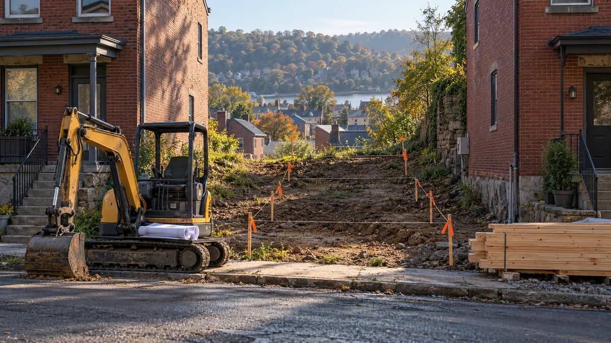
“What can I build on this lot, and does it pencil?”
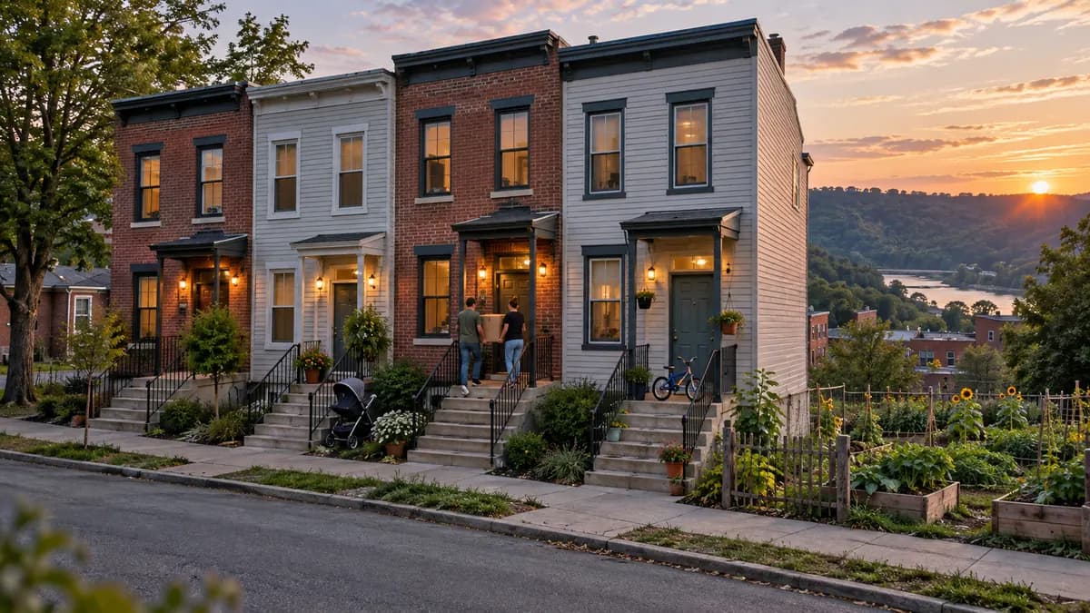
“Can we build homes families can afford here, and what’s the gap?”

“If we change this rule, how many homes does it unlock, and at what cost?”
A clearer view of the lot
Each parcel opens to a short, visual summary. The full feasibility study is one click away when you need the detail.
Seven factors, each with a bar. Tap the receipt beside any bar to see the records and rules behind it, with dates.
Landslide areas, old mines and flood zones lower the score and appear as their own callouts, with the code sections that apply.
Two sentences on what the lot allows today and what could be possible with approval. Every figure in them comes from the calculation, never from guesswork.
Site, zoning, process, market, costs, returns and risks in one cited document you can print or save as a PDF.
 Regional illustration · Not a photo of this lot
Parcel overview
Illustrative parcel, residential zoning
Review requiredIllustrative landslide-overlay flag. Geotechnical review needs confirmation.
The example assumes one single-family home by right and a stepped foundation for the steep slope. A duplex would require a separate zoning review.
Open the feasibility studyExample layout. All parcel values, zoning and risk statements are illustrative and unverified.
A receipt behind every number. Try a factor above.
Evidence you can follow
Missing data is shown as missing. The date on every source is listed in each report.
Explore data & methodsParcels, assessments and sales
Zoning map, zoning code and permits
1-meter lidar for slope and terrain
Flood hazard maps
Mine and environmental records
Income limits, rents and housing data
A little clarity
A free tool that shows what it takes to build housing on a lot in Allegheny County. Type an address or parcel ID and you get the lot’s zoning, slope, hazards, approvals and an estimated budget in one place, with a source behind every number. There is no account or sign-in.
How many barriers stand between a lot and new housing: zoning, terrain, hazards, access, approvals, the lot itself and nearby market activity. It reads Few, Some, Significant or Major barriers. It measures barriers to building, not whether it’s a good investment; money is kept separate, in the pro forma.
EaseScore says so instead of guessing. Missing values stay missing, never filled with a zero or a favorable assumption. Zoning rules are loaded for the City of Pittsburgh only; elsewhere, and where the building on a lot can’t be verified, the lot shows a Partial screen with no score and only the facts we have.
Public records: Allegheny County parcels, assessments and sales; City of Pittsburgh zoning, permits and hazard maps; USGS elevation data; FEMA flood maps; Pennsylvania DEP mine and environmental records; HUD rents and income limits; Census data; and ZIP-level asking rents from RentCast, with HUD Fair Market Rents as the fallback. Receipts and reports show each source and its date.
Published Pittsburgh builder price ranges by build quality, with the builder’s fee removed using NAHB’s 2024 cost survey, so the figure is the cost to build. The default is Standard infill at $190 per square foot. The construction loan uses the latest bank prime rate in our data plus 1.0 point. Every line shows its source and can be edited.
In many Pittsburgh neighborhoods, building a new home costs more than new homes sell for. That is the market, not a bug. A lot pencils when the estimate meets the 15% target margin (editable), and a margin from zero up to the target is a thin margin. Where a lot doesn’t pencil, EaseScore shows how large the gap is.
The City’s decision always governs. Zoning results cite the section of the code they rely on, so staff and applicants can see what was applied. EaseScore is decision support only, not legal, zoning or financial advice.
AI (Claude) only rewords the plain-language answers and the short summary from results the code already calculated; search, scoring and every number are ordinary code. It never calculates a score, cost, rent, tax or return. A validator checks every number in an AI-written sentence against the calculation; if one doesn’t match, the standard sentence is shown instead.
It could be misused to target owners in financial trouble, so private owners’ names are never shown and tax-delinquency status is shown only for publicly owned land. Estimates can be wrong, so they come as ranges with sources and are not advice. Read the limitations.
From possibility to a plan
No account needed. A clearer starting point.